 "I found this very interesting website, it gives you the tithe maps of Cheshire; the 1875 os map, the 1910 os map, the modern os map, and aerial views from 2000 and 1970. It also gives you land use maps and plot details. The site also shows you who owned most of the land. Sadly this is all for Cheshire! t will also allow you to search your postcode. Strangely it lets you look at the whole of the os map for the North West of England." Click the image for the website!
Wednesday, 25 February 2009
A bit of Historical Geography
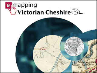
Thanks to a pupil in Year 9 for this post: "I found this very interesting website, it gives you the tithe maps of Cheshire; the 1875 os map, the 1910 os map, the modern os map, and aerial views from 2000 and 1970. It also gives you land use maps and plot details. The site also shows you who owned most of the land. Sadly this is all for Cheshire! t will also allow you to search your postcode. Strangely it lets you look at the whole of the os map for the North West of England." Click the image for the website!
"I found this very interesting website, it gives you the tithe maps of Cheshire; the 1875 os map, the 1910 os map, the modern os map, and aerial views from 2000 and 1970. It also gives you land use maps and plot details. The site also shows you who owned most of the land. Sadly this is all for Cheshire! t will also allow you to search your postcode. Strangely it lets you look at the whole of the os map for the North West of England." Click the image for the website!
Subscribe to:
Post Comments (Atom)


No comments:
Post a Comment